


Agricultural Production in Nevşehir Monitored with Satellite Technology
· Google Haberler
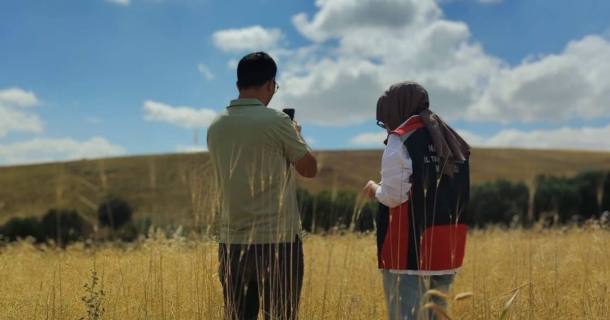
The Ministry of Agriculture and Forestry is recording crop diversity and production status in agricultural lands using satellite data through its remote sensing project conducted across Nevşehir.
Crop Detection from Satellite
Digital technologies have been implemented to effectively monitor plant production in Nevşehir center and its districts. Within the scope of the Remote Sensing for Crop Identification project, coordinated by the General Directorate of Agricultural Reform of the Ministry of Agriculture and Forestry, technical teams from provincial and district agriculture directorates are continuing their field detection studies. These technical examinations, conducted in designated reference parcels, are supported by Geographic Information Systems and high-resolution satellite data. Thus, the crop pattern and current production status in agricultural lands are recorded using precise methods, creating an up-to-date agricultural production map of the city.
Digital Era in Production Planning
The use of remote sensing systems in agriculture elevates the reliability and accuracy of data collected from the field to the highest level. Thanks to the field studies conducted across Nevşehir, data related to parcels are rapidly processed, providing direct input for agricultural production planning. The technical results compiled from the field lay the foundation for the accurate formulation of national agricultural policies and the protection of supply security. With the integration of digital infrastructure into production, the effective management of Nevşehir's agricultural potential is aimed.